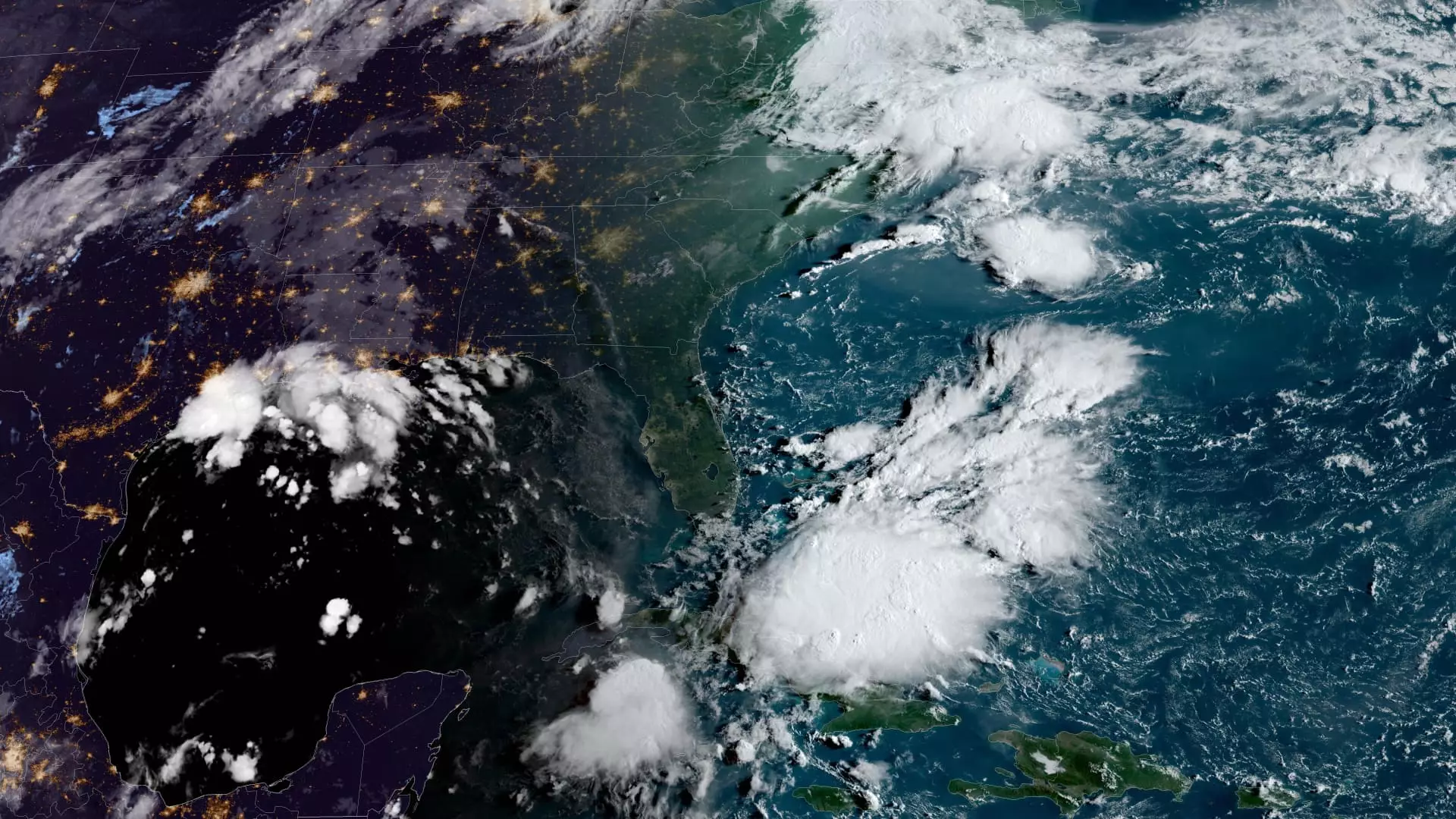
The disturbance in the Gulf of Mexico is expected to intensify into a tropical storm on Monday, with the possibility of reaching hurricane status before making landfall along the U.S. Gulf Coast by the middle of the week. The National Hurricane Center issued an early Monday advisory, indicating that the storm, referred to as Potential Tropical Cyclone Six, is currently situated approximately 300 miles south-southeast of the Rio Grande and is moving in a north-northwest direction.
Tropical storm watches are already in place for northeastern Mexico and southern Texas in anticipation of Potential Tropical Cyclone Six. The storm is projected to bring heavy rainfall and could trigger flash flooding along the coastal areas of northeast Mexico, southern Texas, southern Louisiana, and southern Mississippi until Thursday morning. Though the specific areas of impact are yet to be determined, the potential for life-threatening storm surge and damaging winds along the Louisiana and Upper Texas coastlines is increasing, beginning Tuesday night as stated by the weather service.
The 2024 Atlantic storm season has seen the formation of five named storms, with three of them reaching hurricane status so far. One of the notable hurricanes was Debby, which made landfall in the Big Bend region of Florida as a Category 1 hurricane before moving towards South Carolina. Another significant storm was Ernesto, which became a Category 1 hurricane upon reaching Bermuda in mid-August. The season, stretching from June to November, was characterized by slightly below-normal tropical cyclone activity in the month of August as reported by the hurricane center.
The National Oceanic and Atmospheric Administration had initially predicted above-normal hurricane activity in the Atlantic basin for the year, estimating a total of 17 to 25 named storms, with eight to 13 likely to develop into hurricanes. This forecast was attributed to various contributing factors such as warm ocean temperatures in the Atlantic, La Niña conditions in the Pacific, reduced wind patterns in the Atlantic, and lower wind shear levels. These conditions collectively set the stage for heightened hurricane activity during the 2024 storm season.


Leave a Reply